
Geospatial Research, Integration, Development and Support (GRIDS)
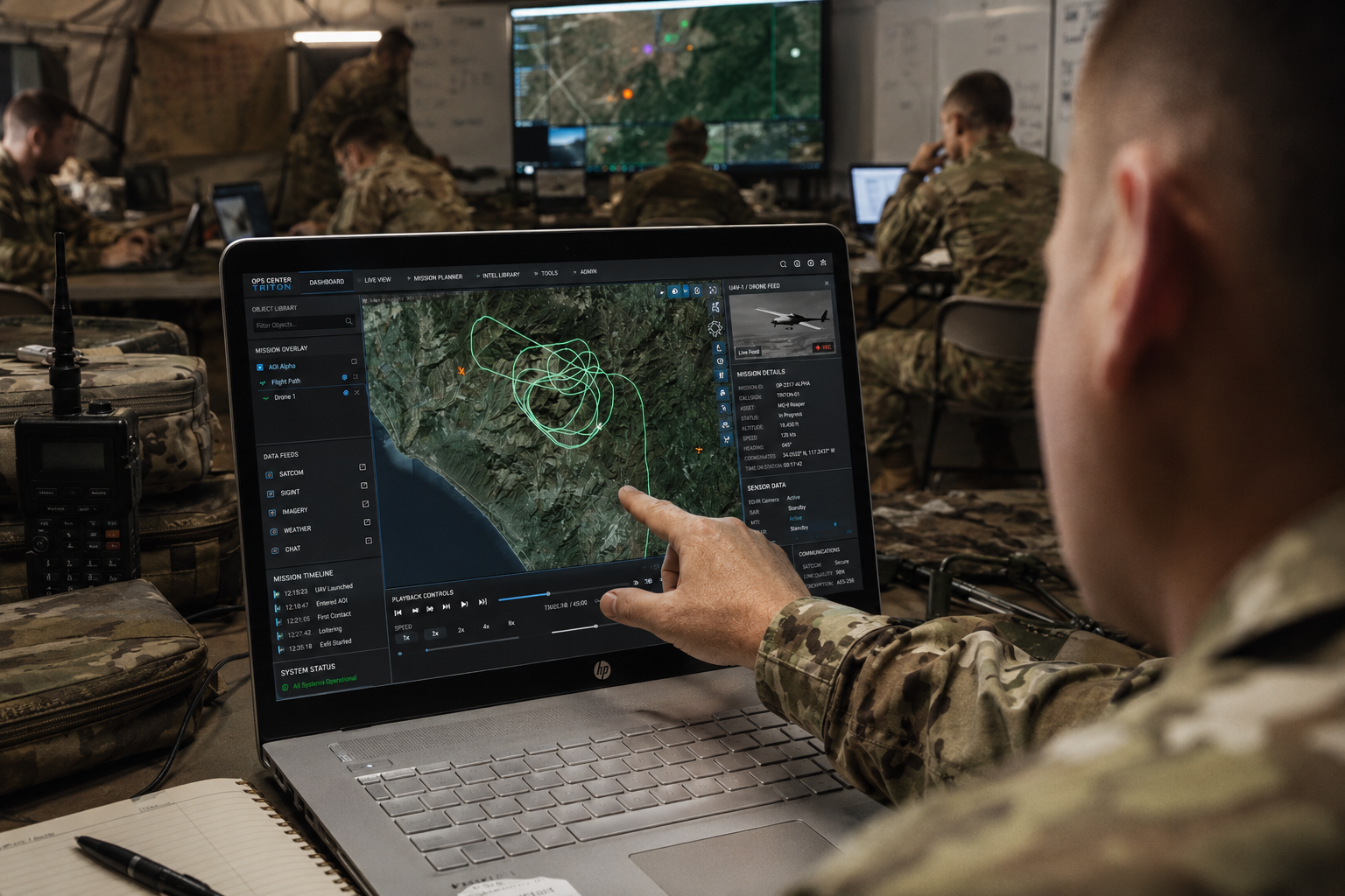
The GRIDS program is the U.S. Army’s flagship initiative for advancing enterprise-enabled geospatial capabilities that directly power decision-making, situational awareness, and mission readiness. Managed by the Army Geospatial Center (AGC), GRIDS IV is a $499M, five-year IDIQ contract that funds the development, integration, and modernization of critical geospatial systems—ensuring U.S. forces have the tools to respond to any mission, anytime, anywhere.
As the prime contractor on the program, we are driving innovation across GRIDS, leveraging more than 15 years of proven experience in supporting AGC and legacy GRIDS programs. Our team delivers high-impact software development, system integration, and GEOINT-centric AI/ML solutions that give warfighters a decisive edge. By aligning geospatial intelligence across the Army, RGi is shaping the future of geospatial technology to keep soldiers ready and mission-focused.
RGi is redefining multi-domain intelligence solutions with bold engineering built for impact. Insight to action; action to advantage.